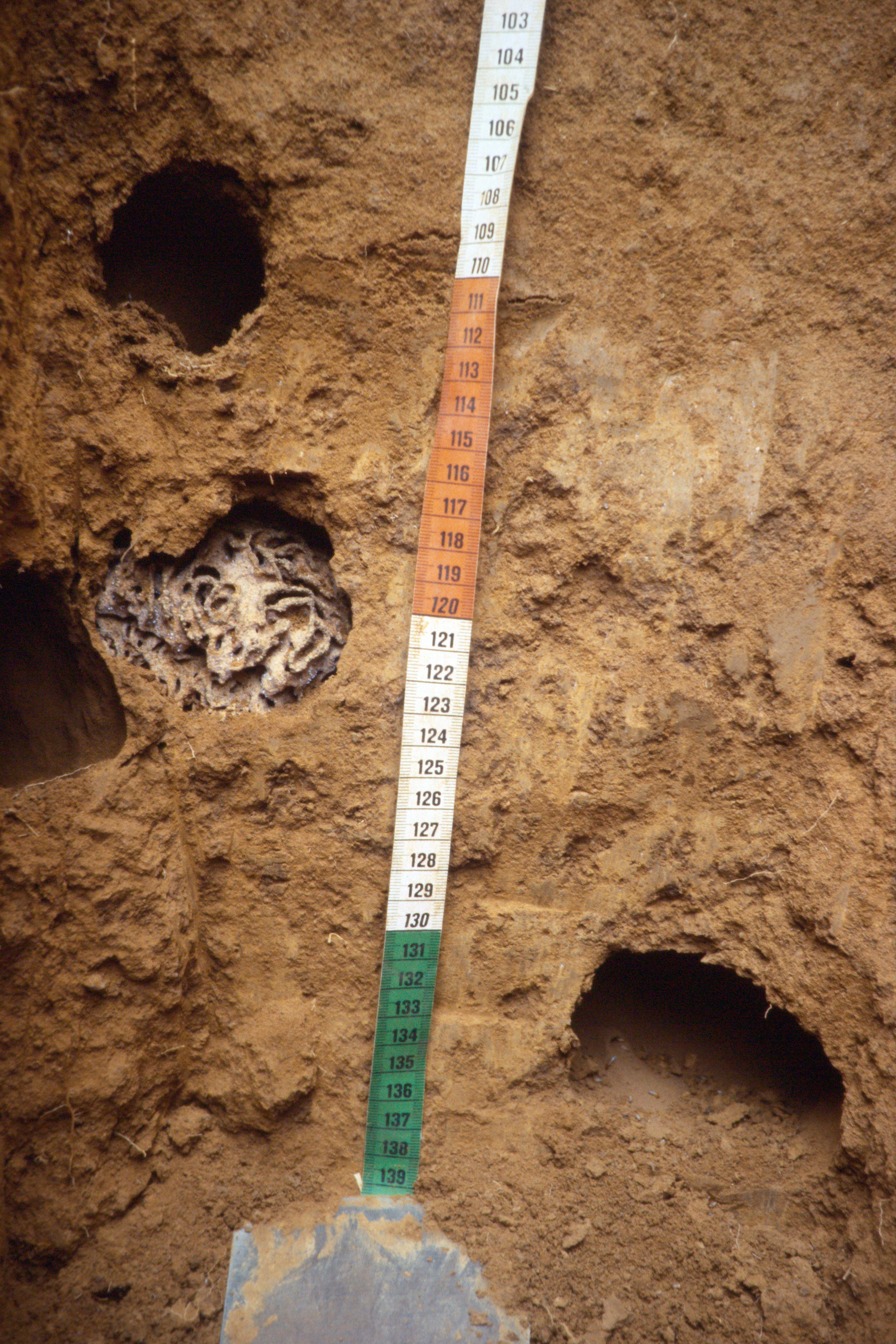
/media/wtblvsth/termite-nest-in-soil-profile-with-measurement-scale-rwanda.jpg

ISRIC reports and technical papers

This page contains an overview of ISRIC reports, published from 2010 onwards, as well as ISRIC technical papers. For access to reports issued before 2010, please contact us.

Please note that this page is currently under development as we migrate content to the ISRIC Library of Maps and Reports, hosted by Wageningen University and Research. Some resources may be temporarily unavailable during this transition. We appreciate your patience during this process.

ISRIC reports

  • ISRIC Report 2025/01: WoSIS procedures for coding and standardizing soil analytical method descriptions

  • ISRIC Report 2023/02: Options for harmonising soil data obtained from different sources

  • ISRIC Report 2023/01: WoSIS procedures for standardizing soil analytical method descriptions

  • ISRIC Report 2022/01: Procedures and standards in use at ISRIC WDC-Soils (ver. 2022)

  • ISRIC Report 2021/03: How well does Digital Soil Mapping represent soil geography? An investigation from the USA: Case Study

  • ISRIC Report 2019/01: Tier 1 and Tier 2 data in the context of the federated Global Soil Information System (GLOSIS)

  • ISRIC Report 2018/01: World Soil Information Service (WoSIS) - Towards the standardization and harmonization of world soil data

  • ISRIC Report 2017/01: Overview of procedures and standards in use at ISRIC WDC-Soils

  • ISRIC Report 2016/02: Overview of procedures and standards in use at ISRIC WDC-Soils

  • ISRIC Report 2016/01: Soil and Terrain database of the Republic of Malawi

  • ISRIC Report 2015/03: Towards the standardization and harmonization of world soil data: Procedures Manual ISRIC World Soil Information Service (WoSIS ver. 2.0)

  • ISRIC Report 2015/02: Root zone plant-available water holding capacity of the Sub-Saharan Africa soil, version 1.0

  • ISRIC Report 2015/01: World soil property estimates for broad-scale modelling (WISE30sec)

  • ISRIC Report 2014/01: Africa Soil Profiles Database - Version 1.2

  • ISRIC Report 2013/06: Modelling of soil degradation and its impact on ecosystem services globally, Part 1: A study on the adequacy of models to quantify soil water erosion for use within the IMAGE modelling framework

  • ISRIC Report 2013/05: Towards improved soil information for quantification of environmental, societal and economic sustainability

  • ISRIC Report 2013/04: Global and National Soils and Terrain Databases (SOTER)

  • ISRIC Report 2013/03: Africa Soil Profile Database - Version 1.1

  • ISRIC Report 2013/02: Towards an ISRIC World Soil Information Service (WOSIS Version 1.0)

  • ISRIC Report 2013/01: Global changes of net primary productivity, affected by climate and abrupt land use changes since 1981

  • ISRIC Report 2012/04: Global and National Soils and Terrain Digital Databases (SOTER); Procedures Manual Version 2.0 Draft

  • ISRIC Report 2012/03: Africa Soil Profiles Database - Version 1.0

  • ISRIC Report 2012/02: Global changes of remotely sensed greenness and simulated biomass production since 1981

  • ISRIC Report 2012/01: ISRIC-WISE derived soil properties on a 5 by 5 arc-minutes global grid (ver. 1.2)

  • ISRIC Report 2011/06: Global distribution of soil phosphorus retention potential

  • ISRIC Report 2011/04: Green Water Credits Report K13: Estimated Changes in Soil Organic Carbon in the Upper Tana, Kenya

  • ISRIC Report 2011/01: Overview of soil phosphorus data from a large international soil database

  • ISRIC Report 2011/01 + data: Overview of soil phosphorus data from a large international soil database

  • ISRIC Report 2010/10: A global framework of soil organic carbon stocks under native vegetation for use with the simple assessment option of the Carbon Benefits Project system (ver. 1.0)

  • ISRIC Report 2010/09: Green Water Credits Report K11: Soil and Terrain Database for the Upper Tana, Kenya

  • ISRIC Report 2010/09 Green Water Credits Report 11: Soil and terrain conditions for the Upper Tana River catchment, Kenya.

  • ISRIC Report 2010/08: An update of GLADA - Global Assessment of Land Degradation and Improvement

  • ISRIC Report 2010/07b: Soil property estimates for the Upper Tana river catchment, Kenya, derived from SOTER and WISE (version1.1)

  • ISRIC Report 2010/07: Soil property estimates for the Upper Tana river catchment, Kenya, derived from SOTER and WISE (version1.0)

  • ISRIC Report 2010/06: Inventory of P-Olsen data in the ISRIC-WISE soil database for use with QUEFTS

  • ISRIC Report 2010/05, (GLADA report 1d): Land Degradation and Improvement in China 2. Accounting for soils, terrain and land use change

  • ISRIC Report 2010/04, Green Water Credits Report K10: Impacts of Land Management Options in the Upper Tana, Kenya - Using the Soil and Water Assessment Tool - SWAT

  • ISRIC Report 2010/03 Green Water Credits Report K9: Land Use Map of the Upper Tana, Kenya. Based on remote sensing

  • ISRIC Report 2010/02, Green Water Credits Report 8: Baseline Review of the Upper Tana, Kenya

  • ISRIC Report 2010/01: Soil property estimates for Tunisia derived from SOTER and WISE (SOTWIS-Tunisia)
Technical papers

  • Technical Paper 30: Management options for reducing CO2 -concentrations in the atmosphere by increasing carbon sequestration in the soil

  • Technical Paper 29: Relation between the soil units of the FAO-UNESCO soil map of the world legend and the soil classes used in Brazilian surveys

  • Technical Paper 28: Soil fertility decline under sisal cultivation in Tanzania

  • Technical Paper 27: A global data set of soil pH properties

  • Technical Paper 26: World Inventory of Soil Emission Potentials. WISE 2.1. Profile Database User Manual and Coding Protocols

  • Technical Paper 25: Soilgraph A soil and climate data presentation and assessment program (3rd version)

  • Technical Paper 24: SOILIMS Laboratory Information Management System for Soil and Plant Laboratories Manual and Tutor Version 1.4

  • Technical Paper 23 WISE Report 3 :A Review of Soil Factors and Processes that Control Fluxes of Heat, Moisture and Greenhouse Gases

  • Technical Paper 22: Methodological Guidelines for Forecasting the Geochemical Susceptibility of Soils to Technogenic Pollution

  • Technical Paper 21: Agroclimatic Characterization of Madagascar. IRRI-Madagascar Rice Research Project

  • Technical Paper 20: FAO-UNESCO Soil Map of the World. (Revised Legend 1990)

  • Technical Paper 19: Soil Horizon Designations

  • Technical Paper 18: Historical Highlights of Soil Survey and Soil Classification with Emphasis on the United States, 1899-1970

  • Technical Paper 17: Soil Horizon Designation and Classification. A coordinate System for Defining Soil Horizons and Their Use as the Basic Elements in Soil Classification for Different Purposes.

  • Technical Paper 16: Comparative Classification of some Deep, Well-Drained Red Clay Soils of Mozambique

  • Technical Paper 15b: ISRIC Soil Information System ISIS 4.0 User manual (revised edition 1995)

  • Technical Paper 15: ISRIC Soil Information System, User Manual - Technical Manual. (Revised Edition1988)

  • Technical Paper 14: Guidelines for the Description and Coding of Soil Data. (Revised Edition 1988).

  • Technical Paper 14: Guidelines for the Description and Coding of Soil Data. (Revised Edition 1995).

  • Technical Paper 13: Proceedings of an International Workshop on the Laboratory Methods and Data Exchange Programme, 25-29 August 1986

  • Technical Paper 12: Problem Soils: their Reclamation and Management. Taken from: Land Reclamation and Water Management. Developments, Problems and Challenges.

  • Technical Paper 11: A Simplified new suction apparatus for the preparation of small-size porous plate clay specimens for X-Ray diffraction

  • Technical Paper 10: Aspects of the exhibition of soil monoliths and relevant information ( provisional edition)

  • Technical Paper 09: Procedures for Soil Analysis (6th Edition)

  • Technical Paper 08: Laboratory Methods and Data exchange Program for Soil Characterization, A Report of the Pilot Round II: Exchangeable bases, Base Saturation and pH

  • Technical Paper 07: Project of Soil Classification. (Project de Classification des Sols)

  • Technical Paper 06: Labaoratory Methods and Data exchange Program for Soil Characterization, A Report of the Pilot Round Part I: CEC and Texture

  • Technical Paper 05: The soils of the flat wetlands of the world; their distribution and their agricultural potential

  • Technical Paper 04: Field Extract of Soil Taxonomy. The 1975 System of Soil Classification of the U.S.D.A./S.C.S., First ed: 1980, Second ed: 1982, Reprint 1983, Reprint 1986

  • Technical Paper 03: A new suction apparatus for mounting clay speciments on small-size porous plates for X-ray diffraction

  • Technical Paper 02: The Photography of Soils and Associated Landscapes

  • Technical Paper 01_ES: Procedimientos para la Colección y Preservación de Perfiles de Suelo

  • Technical Paper 01: Procedures for the Collection and Preservation of Soil Profiles