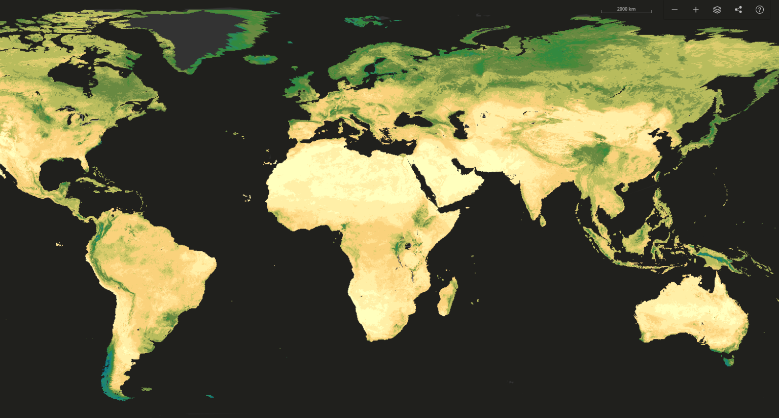

SoilGrids is one of ISRIC’s flagship products. It is a system for global digital soil mapping that uses state-of-the-art machine learning methods to map the spatial distribution of soil properties across the globe. SoilGrids prediction models use soil profile observations from the WoSIS database along with a series of environmental covariates. Covariates are selected from 400 environmental layers and other environmental information such as climate, land cover and terrain morphology.
SoilGrids's provides global maps of fourteen soil properties at a spatial resolution of 250 meters, for six standard depth intervals. The uncertainty of the predictions is quantified for each pixel. The properties available are pH, soil organic carbon content, bulk density, coarse fragments content, sand content, silt content, clay content, cation exchange capacity (CEC), total nitrogen as well as soil organic carbon density and soil organic carbon stock. SoilGrids follows closely the specifications established by the GlobalSoilMap Working Group of the International Union of Soil Sciences.
For additional information, please visit the SoilGrids FAQ page.
The SoilGrids maps are publicly available on the SoilGrids website under the CC-BY 4.0 License.